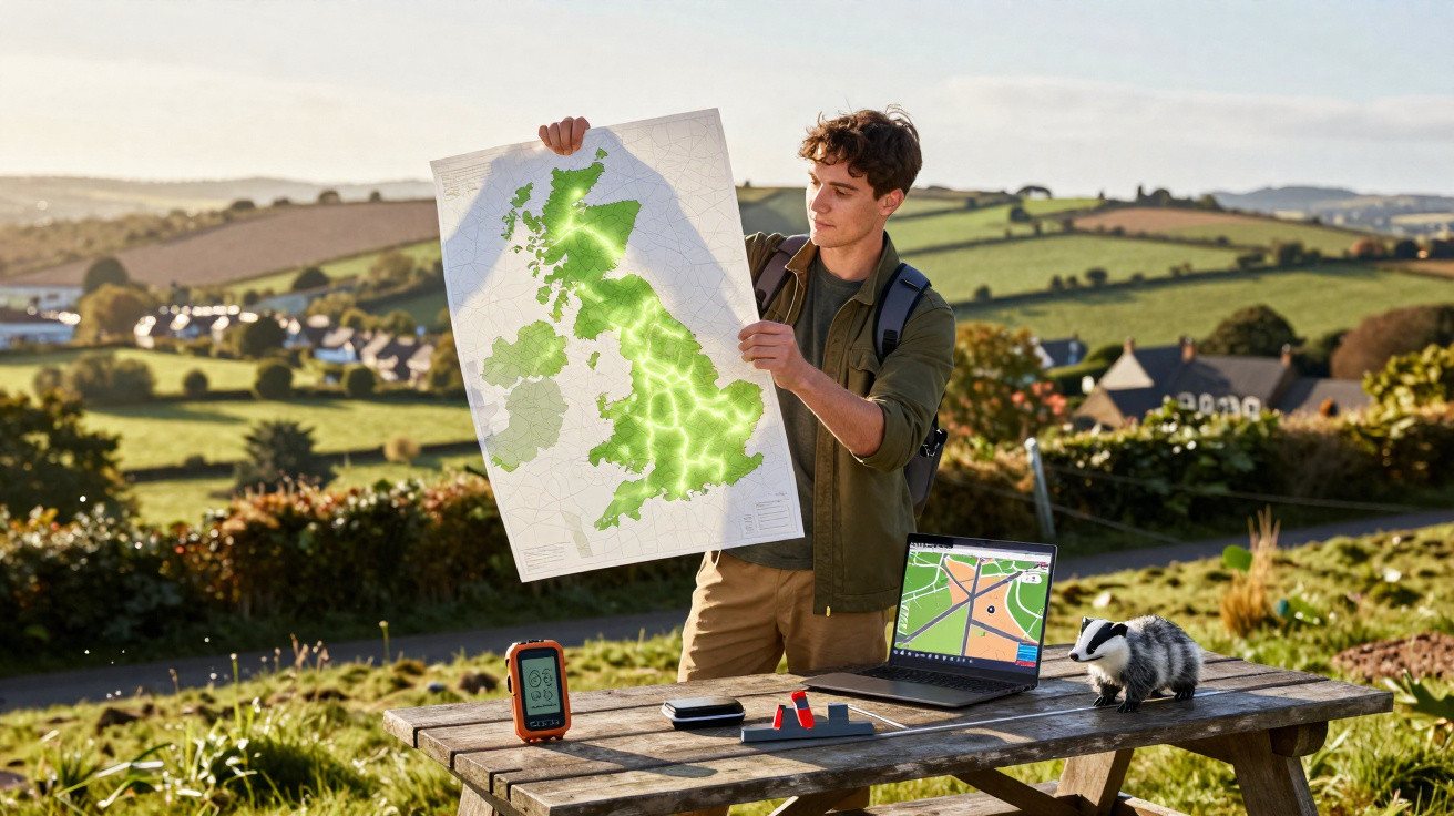
A European badger needs around 1.3 square kilometres to feed, raise its young and get through the winter. That might seem a modest requirement in a country where more than a quarter of the land is protected. Yet Britain’s first map of its roadless areas reveals a more difficult picture.
Mapping Britain’s roadless areas
The research was carried out at Cardiff University, where ecologist Sarah Raymond and her team mapped every piece of British land beyond the influence of a road. They included not only the paved surface but also the broader strip of land affected by each road.
Noise, light, runoff and animals’ tendency to avoid traffic extend well beyond the roadside, creating what researchers call the road effect zone.
Around every paved road, the team mapped this zone at three widths: approximately 100 metres, 500 metres and 1 kilometre. Land outside those boundaries was classed as road-free.
Using the widest zone, only around a fifth of Britain remained road-free, split into more than 6,000 separate patches. The result shows fragmentation on a large scale, with continuous wild land divided into isolated pieces.
How small the patches are
Size is the central problem. More than seven in ten patches covered less than 1.3 square kilometres, while a typical patch measured around 8 square kilometres.
That is only a fraction of the European average, where patches cover roughly 47 square kilometres. Britain is an extreme example, though it is not alone.
Separate research mapping roads through tropical forests continues to find many more than official records acknowledge, reaching ever further into formerly wild land.
England, the most densely populated part of the island, had the smallest patches, averaging less than 2.6 square kilometres, but more of them than anywhere else.
The largest uninterrupted areas were further north, across the Scottish Highlands and the Cairngorms National Park, where the sparse population means there are fewer roads.
Too small for badgers
The clearest result emerged when the researchers compared the patches with the animals living in them. Every mammal has a home range: the area it travels through to find food and a mate.
Raymond’s team compared the patches with the ranges of the ten mammals most frequently killed on British roads. A map of roadless areas had never before been matched to particular animals in this way, and the results were bleak.
A European badger needs approximately 1.3 square kilometres, but only around a quarter of patches were large enough. About a third were big enough for a red fox.
Most quiet land is therefore too small to contain even one badger’s range. If an animal’s territory cannot fit within a single patch, it must frequently cross roads, which is probably why badgers and foxes feature so often in roadkill records.
Small animals cross too
Smaller animals do somewhat better, although the figures alone can be misleading. Around four-fifths of patches were large enough for a grey squirrel’s range, and roughly two-thirds could accommodate a hedgehog’s.
A range shown on a map does not always tell the whole story. An otter may occupy a small area on paper, but its territory can follow a narrow stretch of river for 5 to 40 kilometres, taking it across roads repeatedly.
A hedgehog can travel more than 1.6 kilometres in one night. Its short legs do not keep it safe from traffic.
An animal’s position within a patch also matters. If it lives close to the edge, a road will never be far away. The smaller the patch, the more of its residents live near a road.
Home ranges change with the seasons and tend to be larger for males, so the pressure is not shared equally. One paper on the global road network also finds that the ecological impact of road traffic is continuing to grow worldwide.
Inside the patches
The land that remains road-free in Britain has particular characteristics. The largest patches consist mainly of rough upland grazing and heather moor, interspersed with peat bog and conifer plantation.
This is exposed, grazed land rather than rich, sheltered habitat. Under a standard measure of wildlife richness, the larger patches scored slightly lower, rather than higher.
That may seem unfavourable for road-free land, but the team is cautious about the measure. A peat bog can score poorly for its number of species while storing carbon for centuries and reducing flooding downstream.
Protection is uneven as well. Nearly half of all road-free land already falls within a protected designation, but more than half lies outside one.
Even where patches are protected, the designated area often covers only their edges. Roads pass straight through reserves that appear secure on a map.
Reconnecting the map
Before this research, nobody had a complete count of Britain’s roadless areas or knew how little of that land could support a fox or a badger.
The map now provides a stark answer: there are plenty of patches, but they are too small and fragmented to function as refuges.
This gives conservationists a different target. Unprotected patches account for roughly a tenth of Britain’s land and could be brought into the protected network and reconnected.
The searchable map identifies which patches could be joined to give wildlife space to move.
For a badger whose 1.3-square-kilometre range can only be found across a road, reconnection makes the difference between having a home and taking a nightly gamble with traffic.
Britain’s quiet ground has finally been mapped. The harder task now is to stop its remaining pieces from shrinking.










Comments
No comments yet. Be the first to comment!
Leave a Comment